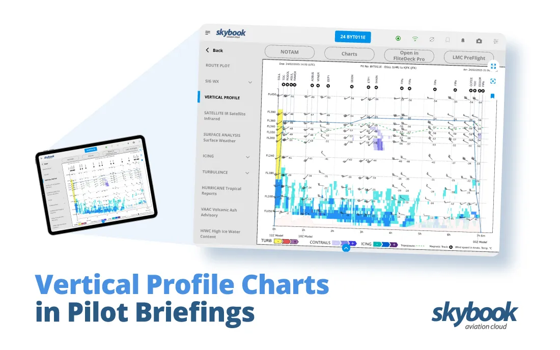
Vertical Profile Charts in Pilot Briefings
Effective flight monitoring, or flight tracking, goes beyond knowing where an aircraft is—it is also about understanding the conditions it will face along its journey.
With skybook Flight Tracking, airlines and operators gain access to advanced weather and environment layers designed to enhance safety, efficiency, and decision-making.
Let’s explore these layers and their significance…
This layer provides critical insights into high-altitude winds and temperatures at various flight levels. Pilots and flight planners can use this data to optimise routes for fuel efficiency.
For instance, tailwinds can reduce fuel consumption, while avoiding headwinds can minimise delays.
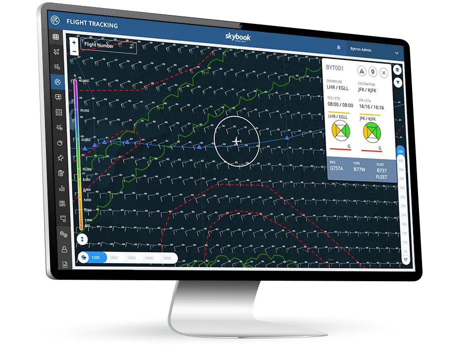
Turbulence is one of the most unpredictable challenges in aviation. The CAT layer highlights areas of potential turbulence invisible to the naked eye.
Dispatchers monitoring CAT data can communicate altitude adjustment suggestions or alternate routes to avoid turbulent areas, ensuring a proactive approach to safety.
Turbulence data also displayed on the skybook electronic flight bag (EFB) briefing helps pilots adjust altitudes or routes to ensure passenger safety and comfort.
Cumulonimbus clouds are associated with severe weather conditions like thunderstorms and heavy turbulence.
The CB Cloud layer identifies these weather systems, enabling pilots to plan deviations and avoid hazardous areas, ensuring smoother and safer flights.
Awareness of CB cloud locations using flight monitoring allows dispatchers to identify safe alternate routes or airports if a planned route becomes unsafe.
Natural phenomena such as cyclones and volcanic eruptions pose significant risks to aviation. The Cyclones & Volcanoes layer provides real-time updates on the locations and potential impact zones of these events.
This allows for timely route adjustments to maintain safety and avoid disruptions.
The Airfields layer highlights airports along the flight path, providing quick access to alternates in case of emergencies or operational changes.
Paired with weather and NOTAM data, this layer ensures pilots and dispatchers are always informed about potential landing options.
The OCC environment also use tools such as Airfield Watch, enabling the ground team to quickly stay informed about changes in airfield weather and NOTAMs.
FIR boundaries define air traffic control regions around the globe. Understanding these regions is crucial for regulatory compliance and smooth communication with ATC.
The FIRs layer visualises these zones, enabling dispatchers to monitor which FIR an aircraft is in, if they need to effectively coordinate with the correct authorities for updates, clearances, or rerouting.
These are the organised track systems for transoceanic flights. With predefined routes optimised for safety, efficiency, and fuel savings, considering prevailing winds, air traffic volumes, and weather conditions.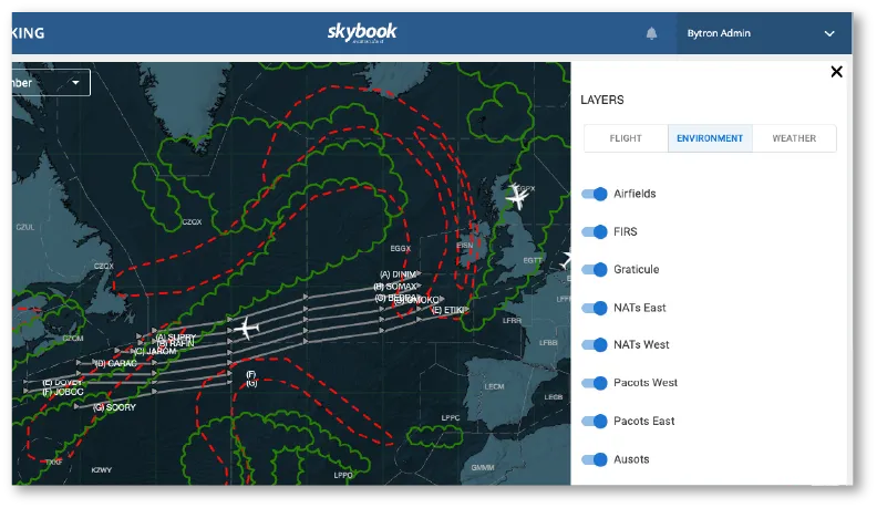
Helping dispatchers to manage long-haul flights efficiently and ensure regulatory compliance.
By integrating these weather & environment layers, it empowers OCCs and dispatchers to make informed decisions, mitigate risks, and improve operational efficiency.
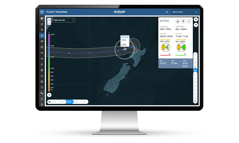
One standout feature of flight monitoring is its ability to track both planned and actual flight routes.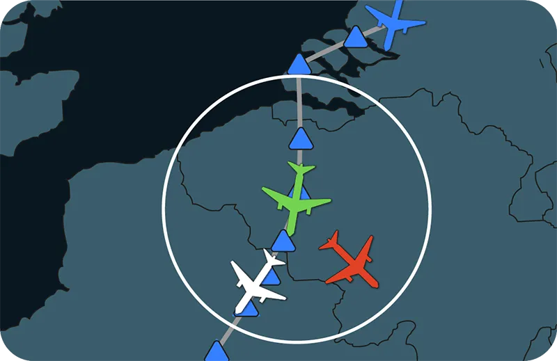
Operators can monitor the planned routes generated from the Operational Flight Plan (OFP) alongside real-time routes based on ADS-B data.
This dual-tracking capability allows for seamless comparison between planned and actual flight progress, providing operators with deeper insights into route deviations, on-time performance, and operational trends.
Curious about how skybook flight tracking and monitoring can enhance your airline operations? Schedule a demonstration today!
Get access to our latest news & skybook updates